March isn’t done roaring yet - heavy rain, even snow looming next week
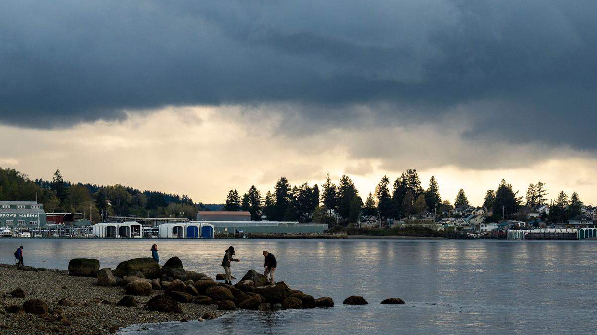
A weather pattern hitting the South Sound next week will bring cold and wet weather to Tacoma, with a chance of snow, according to the National Weather Service.
A system beginning tonight will kick the week off with steady rain lasting into Sunday, Jacob DeFlitch, a meteorologist at National Weather Service Seattle, told The News Tribune.
Sunday’s rain should dissipate into clouds, then the weather will become slightly sunny with a high of 53 degrees Fahrenheit.
Then early Monday and Tuesday morning, expect a mix of rain and snow.
But don’t dust off your snowshoes just yet. Since temperatures will mostly be above freezing, the snow is not likely to accumulate on either day, DeFlitch said.
After the morning sleet on both days, rain will continue throughout the rest of the day with a 100% chance of precipitation.
The heaviest rain will start Wednesday and likely will continue into the rest of the week, DeFlitch said.
Though the lowlands aren’t seeing any snow accumulation, the Olympics and Cascade Mountains should receive some much-needed snowfall that will benefit the snowpack.
The mountain passes will get around two to four feet of snow, if not more, Tuesday through Friday. The heaviest snowfall amounts will take place Wednesday and Thursday.
If you plan to travel across the passes next week, take caution and monitor WSDOT for any travel advisories, DeFlitch said.
This story was originally published March 7, 2026 at 2:44 PM with the headline "March isn’t done roaring yet - heavy rain, even snow looming next week."