
Colder-than-normal temperatures are the only sure thing weather-wise this weekend
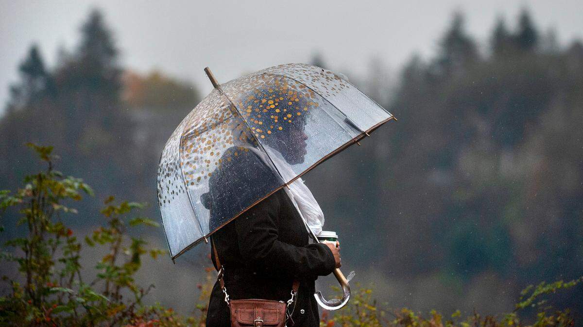
The old Washington saying, “If you don’t like the weather, wait 10 minutes” will be especially appropo this spring weekend.
Olympia’s forecast for this weekend has a little bit of everything, except warm sunshine: high winds, thunderstorms, rain, record-cold daytime highs, hail and maybe even snow, according to the National Weather Service.
On Friday, a small craft advisory was in effect for the Washington coast, and a winter weather advisory will be in effect through 10 a.m. Saturday for the Cascades and the passes through them. The mountain passes could see anywhere from 2 to 12 inches of snow, but how much and where will depend on the location of the convergence zone.
With sunshine, a chilly unstable air mass and a convergence zone on deck, the chance of thunderstorms in Puget Sound is relatively high, weather service meteorologist Dustin Guy told The Seattle Times.
It is expected to be unseasonably chilly on Saturday and Sunday when temperatures in Olympia won’t reach 50. Overnight lows will drop near freezing. The result may be some of the region’s Top 10 coldest April days, Guy said. The typical high for this time of year is 57 to 58 degrees, he told The Times.
High temperatures aren’t expected to begin a slow warmup until next Thursday, and lows will continue to be in the mid 30s in the Olympia area, forecasts show.